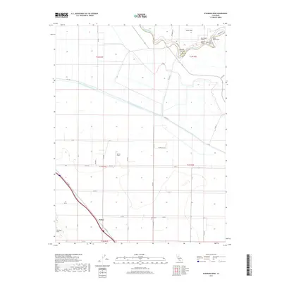
2018 Map of Eldorado Bend
USGS Topo · Published 2018About this map
Eldorado Bend defines a sharp meander of the Sacramento River on this 2018 survey, where the river serves as the boundary between Sutter and Yolo counties. The landscape is a study in agricultural water management, dominated by the massive Colusa Basin Drainage Canal cutting through the Sacramento Valley. In the lower portion of the map, the small settlement of Dufour sits along Co RD 99w, west of the rising terrain of the Dunnigan Hills. Genealogists and local historians will find the Marys Cem located centrally along Co RD 15, while the Zamora Airport provides a modern landmark amidst the expansive fields of the Central Valley. The complex river morphology is further highlighted by named features like State Ranch Bend and Missouri Bend, illustrating the historic flow patterns within the Sutter Basin.
Find a feature on this map
42 named features on this map. Tap any name to fly to it.
Don’t see what you’re looking for? This feature index may not catch every label — zoom into the map to look around manually.
Map Details
Editions of this 2018 Eldorado Bend Map
This is the sole edition of this map. No revisions or reprints were ever made.
Other maps of this area
1907 · Dunnigan
USGS Topo · 1:62,500
1907 · Woodland
USGS Topo · 1:62,500
1907 · Davisville
USGS Topo · 1:62,500
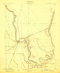
1910 · Knights Landing
USGS Topo · 1:31,680
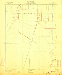
1910 · Marcuse
USGS Topo · 1:31,680
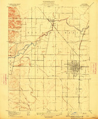
1915 · Yolo
USGS Topo · 1:31,680
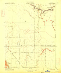
1915 · Ronda
USGS Topo · 1:31,680
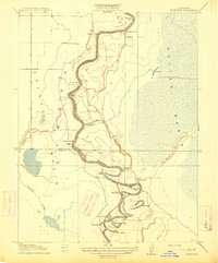
1915 · Kirkville
USGS Topo · 1:31,680
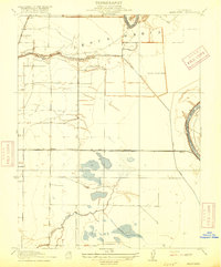
1916 · Grays Bend
USGS Topo · 1:31,680
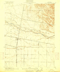
1916 · Jacobs Corner
USGS Topo · 1:31,680