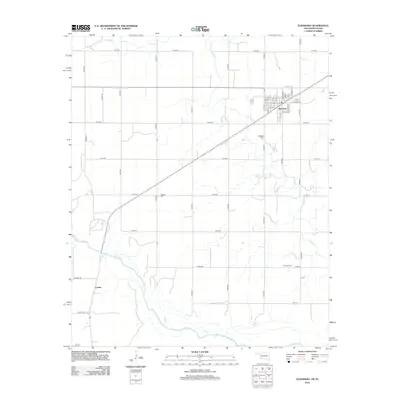
2012 Map of Eldorado
USGS Topo · Published 2012About this map
The Red River defines the southern boundary of this landscape, its wide, shifting channel marking the border between Oklahoma and Texas. On the northern bank, the grid-laid town of Eldorado serves as the primary hub, where streets such as E Main St and S Lloyd St anchor a concentrated residential and commercial core. The surrounding countryside is organized by a precise system of section-line roads, including E1740 Rd and N1820 Rd, reflecting the region's agricultural heritage and organized land division.
Find a feature on this map
42 named features on this map. Tap any name to fly to it.
Don’t see what you’re looking for? This feature index may not catch every label — zoom into the map to look around manually.
Map Details
Editions of this 2012 Eldorado Map
This is the sole edition of this map. No revisions or reprints were ever made.
Other maps of this area

1955 · Lawton
USGS Topo · 1:250,000
1960 · Goodlett
USGS Topo · 1:62,500
1960 · Quanah
USGS Topo · 1:62,500
1961 · Hollis
USGS Topo · 1:62,500
1971 · Duke SW
USGS Topo · 1:24,000
1971 · Prairie Hill
USGS Topo · 1:24,000
1975 · Hollis SE
USGS Topo · 1:24,000
1975 · Quanah NE
USGS Topo · 1:24,000
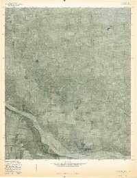
1975 · Quanah NW
USGS Topo · 1:24,000
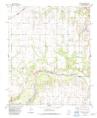
1984 · Quanah NE
USGS Topo · 1:24,000