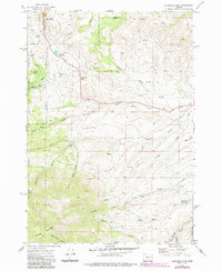
1972 Map of Eldorado Pass
USGS Topo · Published 1985About this map
Eldorado Pass stands as a central topographic crossing in this high-elevation landscape on the border of Baker and Malheur counties. The terrain is defined by the steep slopes of Ironside Mountain and the complex drainage of the Willow Creek system, including Middle Willow Creek and South Willow Creek. The presence of the Old Indian Reservation Boundary cutting across the center of the map suggests the deep historical layer of land management and surveying in this region.
Find a feature on this map
35 named features on this map. Tap any name to fly to it.
Don’t see what you’re looking for? This feature index may not catch every label — zoom into the map to look around manually.
Map Details
Editions of this 1972 Eldorado Pass Map
2 editions found
Other maps of this area

1908 · Ironside Mountain
USGS Topo · 1:125,000

1955 · Baker
USGS Topo · 1:250,000

1955 · Canyon City
USGS Topo · 1:250,000

1959 · Baker
USGS Topo · 1:250,000

1959 · Canyon City
USGS Topo · 1:250,000

1964 · Ironside
USGS Topo · 1:62,500

1966 · Clover Creek Ranch
USGS Topo · 1:62,500

1970 · Castle Rock
USGS Topo · 1:62,500
1972 · Hereford
USGS Topo · 1:24,000
1972 · Unity
USGS Topo · 1:24,000