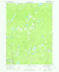
1967 Map of Eldred
USGS Topo · Published 1969About this map
Eldred and Yulan anchor this Sullivan County landscape during the late 1960s, a period defined by quiet upland settlements and a complex network of glacial ponds and wetlands. The terrain is notably punctuated by local infrastructure, including the Central Sch and St Anthonys Cem near Eldred, and the Meadowbrook Landing Strip positioned centrally in Highland township. Small-scale aviation and recreational sites like Frenchman Field and Welmet Camps highlight the area's mid-century character.
Find a feature on this map
68 named features on this map. Tap any name to fly to it.
Don’t see what you’re looking for? This feature index may not catch every label — zoom into the map to look around manually.
Map Details
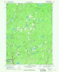
Editions of this 1967 Eldred Map
2 editions found
Other maps of this area

1913 · Milford
USGS Topo · 1:62,500

1915 · Milford
USGS Topo · 1:62,500

1920 · Damascus
USGS Topo · 1:62,500

1922 · White Lake
USGS Topo · 1:62,500

1923 · Damascus
USGS Topo · 1:62,500

1935 · Hawley
USGS Topo · 1:62,500

1938 · Hawley
USGS Topo · 1:62,500

1942 · White Lake
USGS Topo · 1:62,500

1943 · Honesdale
USGS Topo · 1:125,000

1943 · White Lake
USGS Topo · 1:62,500