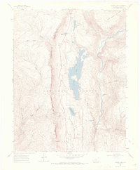
1960 Map of Electra Lake
USGS Topo · Published 1971About this map
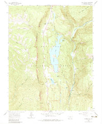
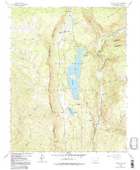
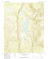
Electra Lake dominates this 1960s survey, serving as a focal point for the high country within the San Juan National Forest. To its east, the Animas River carves a deep valley followed by the narrow-gauge tracks of the Denver and Rio Grande Western railroad, which passes through the small settlement at Tacoma. This corridor represents a vital link between mountain outposts, shown here before modern expansion. The landscape is defined by stark verticality, from the towering Hermosa Cliffs in the west to the West Needle Mountains in the northeast. For researchers, the map details the infrastructure of early mountain recreation and utility, including the Haviland Lake Campground, the remote Ah Wilderness Trails Ranch, and numerous high-altitude water bodies like Columbine Lake and Ignacio Lake. The network of jeep trails and pack trails reflects a mid-century era of backcountry access.
Find a feature on this map
33 named features on this map. Tap any name to fly to it.
Don’t see what you’re looking for? This feature index may not catch every label — zoom into the map to look around manually.
Map Details
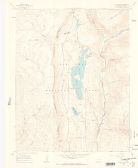
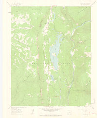
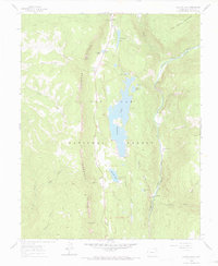
Editions of this 1960 Electra Lake Map
7 editions found
Other maps of this area

1898 · Durango
USGS Topo · 1:62,500

1898 · Engineer Mountain
USGS Topo · 1:62,500

1900 · Engineer Mountain
USGS Topo · 1:62,500

1900 · Needle Mountains
USGS Topo · 1:62,500

1902 · Needle Mountains
USGS Topo · 1:62,500

1907 · Durango
USGS Topo · 1:62,500

1908 · Engineer Mountain
USGS Topo · 1:62,500

1908 · Ignacio
USGS Topo · 1:125,000

1908 · Durango
USGS Topo · 1:62,500

1924 · Ignacio
USGS Topo · 1:125,000