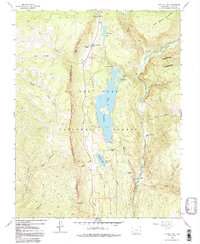
1960 Map of Electra Lake
USGS Topo · Published 1991About this map
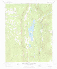
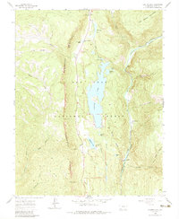
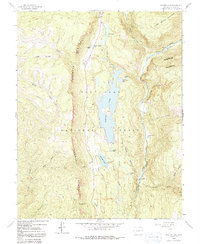
Electra Lake dominates this high-altitude landscape where industrial utility and wilderness recreation intersect. Created to support power generation, the reservoir is linked to a powerhouse at Tacoma on the Animas River via a network of flumes and siphons. The Denver and Rio Grande Western railroad tracks follow the river's path through the deep canyon, providing a vital transportation artery through the San Juan National Forest.
Find a feature on this map
45 named features on this map. Tap any name to fly to it.
Don’t see what you’re looking for? This feature index may not catch every label — zoom into the map to look around manually.
Map Details
Editions of this 1960 Electra Lake Map
7 editions found
Other maps of this area

1898 · Durango
USGS Topo · 1:62,500

1898 · Engineer Mountain
USGS Topo · 1:62,500

1900 · Engineer Mountain
USGS Topo · 1:62,500

1900 · Needle Mountains
USGS Topo · 1:62,500

1902 · Needle Mountains
USGS Topo · 1:62,500

1907 · Durango
USGS Topo · 1:62,500

1908 · Engineer Mountain
USGS Topo · 1:62,500

1908 · Ignacio
USGS Topo · 1:125,000

1908 · Durango
USGS Topo · 1:62,500

1924 · Ignacio
USGS Topo · 1:125,000