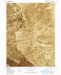
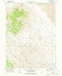
1972 Map of Elephant Knoll SE
USGS Topo · Published 1993About this map
Wendover Air Force Range dominates the eastern half of this arid landscape, illustrating the mid-century military footprint in the Great Salt Lake Desert. The terrain is defined by extreme variations in drainage and surface, where shifting Sand Dunes meet the expansive Alkali or Mud flats that characterize this part of the basin. The western edge of the quadrangle shows signs of early ranching and transit, noted by a Corral and the ephemeral Deep Creek drainage.
Find a feature on this map
13 named features on this map. Tap any name to fly to it.
Don’t see what you’re looking for? This feature index may not catch every label — zoom into the map to look around manually.
Map Details
Editions of this 1972 Elephant Knoll SE Map
2 editions found
Other maps of this area

1925 · Gold Hill
USGS Topo · 1:62,500

1928 · Gold Hill
USGS Topo · 1:62,500

1953 · Tooele
USGS Topo · 1:250,000

1955 · Tooele
USGS Topo · 1:250,000

1972 · Elephant Knoll
USGS Topo · 1:24,000
1972 · Elephant Knoll NW
USGS Topo · 1:24,000
1972 · Elephant Knoll NE
USGS Topo · 1:24,000

1972 · Elephant Knoll SE
USGS Topo · 1:24,000
1973 · Ochre Mountain
USGS Topo · 1:24,000
1973 · Gold Hill
USGS Topo · 1:24,000