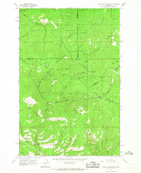
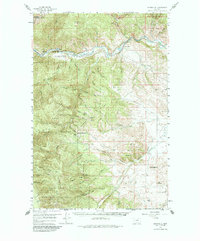
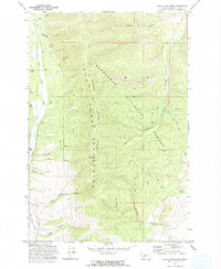
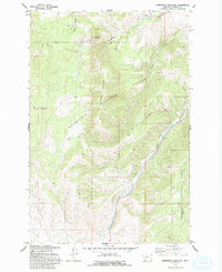
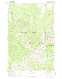
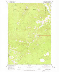
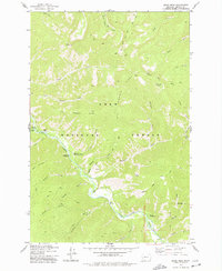
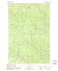
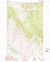
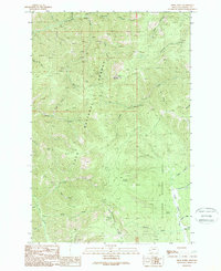
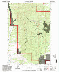
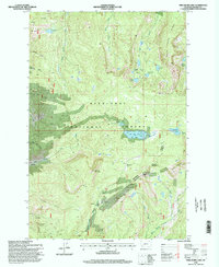
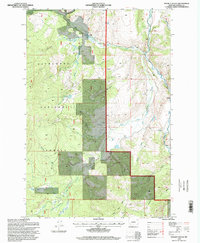
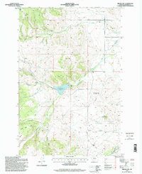
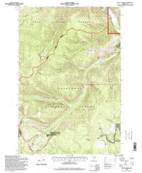
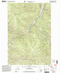
1965 Map of Elevation Mountain
USGS Topo · Published 1967This historical map portrays the area of Elevation Mountain in 1965, primarily covering Granite County as well as portions of Missoula County and Powell County. Featuring a scale of 1:24000, this map provides a highly detailed snapshot of the terrain, roads, buildings, counties, and historical landmarks in the Elevation Mountain region at the time. Published in 1967, it is one of 4 known editions of this map due to revisions or reprints.
Find a feature on this map
6 named features on this map. Tap any name to fly to it.
Don’t see what you’re looking for? This feature index may not catch every label — zoom into the map to look around manually.
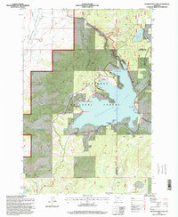
Map Details
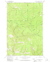
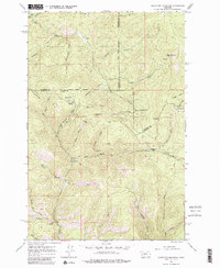
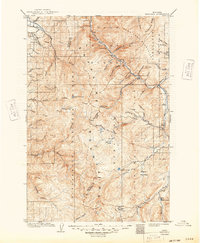
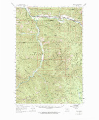
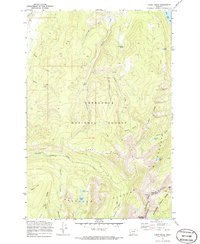
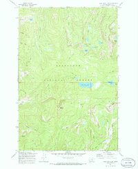
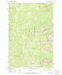
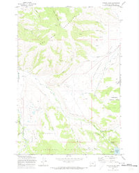
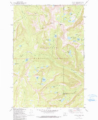
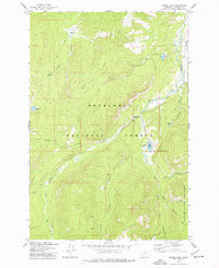
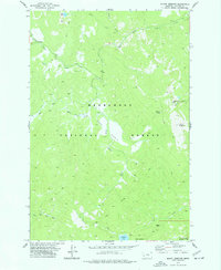
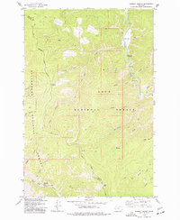
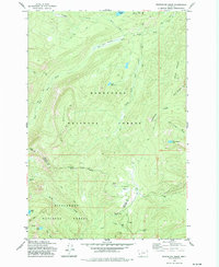
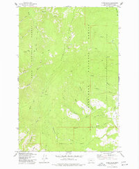
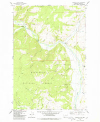
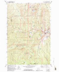
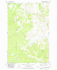
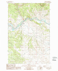
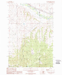
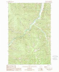
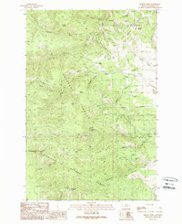
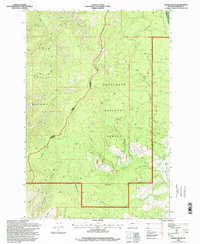
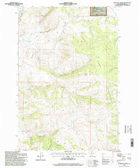
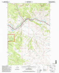
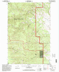
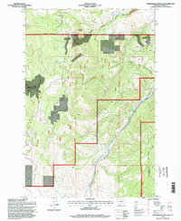
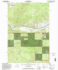
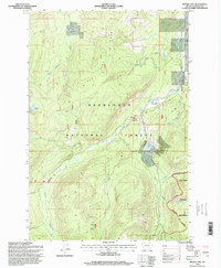
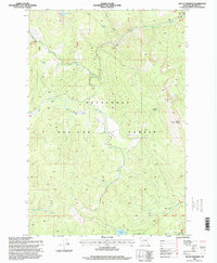
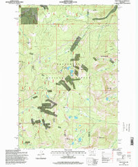
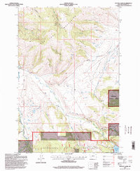
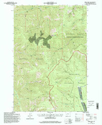
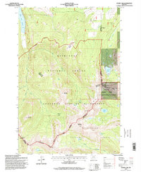
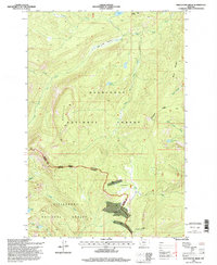
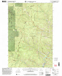
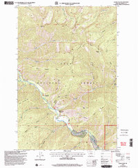
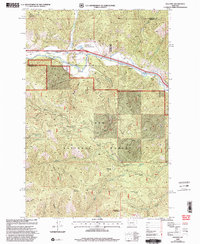
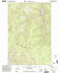
Editions of this 1965 Elevation Mountain Map
4 editions found
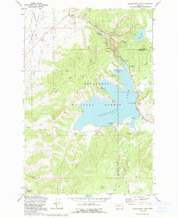
Historical Maps of Beartown Through Time
62 maps found
1909 Sapphire
Granite County, MT
1959 Bearmouth
Granite County, MT
1959 Ravenna
Granite County, MT
1965 Elevation Mountain
Granite County, MT
1971 Antelope Creek
Granite County, MT
1971 Black Pine Ridge
Granite County, MT
1971 Carpp Ridge
Granite County, MT
1971 Fred Burr Lake
Granite County, MT
1971 Georgetown Lake
Granite County, MT
1971 Henderson Mountain
Granite County, MT
1971 Pikes Peak
Granite County, MT
1971 Potato Lakes
Granite County, MT
1971 Pozega Lakes
Granite County, MT
1971 Stony Creek
Granite County, MT
1974 Moose Lake
Granite County, MT
1974 Mount Emerine
Granite County, MT
1974 Sawmill Saddle
Granite County, MT
1974 Stony Creek
Granite County, MT
1974 Whetstone Ridge
Granite County, MT
1975 Alder Gulch
Granite County, MT
1975 Cornish Gulch
Granite County, MT
1975 Quigg Peak
Granite County, MT
1977 Kelly Lake
Granite County, MT
1978 Maukey Gulch
Granite County, MT
1989 Bearmouth
Granite County, MT
1989 Cleveland Mountain
Granite County, MT
1989 Dunkleberg Creek
Granite County, MT
1989 Grizzly Point
Granite County, MT
1989 Harvey Point
Granite County, MT
1989 Limestone Ridge
Granite County, MT
1989 Medicine Tree Hill
Granite County, MT
1989 Nirling Hill
Granite County, MT
1989 Ravenna
Granite County, MT
1989 Spink Point
Granite County, MT
1996 Alder Gulch
Granite County, MT
1996 Antelope Creek
Granite County, MT
1996 Bearmouth
Granite County, MT
1996 Black Pine Ridge
Granite County, MT
1996 Carpp Ridge
Granite County, MT
1996 Cornish Gulch
Granite County, MT
1996 Dunkleberg Creek
Granite County, MT
1996 Fred Burr Lake
Granite County, MT
1996 Georgetown Lake
Granite County, MT
1996 Harvey Point
Granite County, MT
1996 Henderson Mountain
Granite County, MT
1996 Maukey Gulch
Granite County, MT
1996 Medicine Tree Hill
Granite County, MT
1996 Moose Lake
Granite County, MT
1996 Mount Emerine
Granite County, MT
1996 Nirling Hill
Granite County, MT
1996 Pikes Peak
Granite County, MT
1996 Potato Lakes
Granite County, MT

1996 Pozega Lakes
Granite County, MT
1996 Spink Point
Granite County, MT
1996 Stony Creek
Granite County, MT
1996 Storm Lake
Granite County, MT
1996 Whetstone Ridge
Granite County, MT
1999 Cleveland Mountain
Granite County, MT
1999 Grizzly Point
Granite County, MT
1999 Quigg Peak
Granite County, MT
1999 Ravenna
Granite County, MT
1999 Sawmill Saddle
Granite County, MT