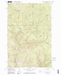
1965 Map of Elevation Mountain
USGS Topo · Published 1980About this map
The rugged topography of the Clearwater State Forest dominates this mid-1960s survey, revealing a landscape defined by its mining heritage and scattered mountain settlements. Gold and silver mining activity is visible across the central and eastern portions of the map, notably near Anaconda Hill and Anderson Hill. The settlement of Garnet stands as a focal point for researchers, flanked by the Nancy Hanks Mine and Mountain View Mine. This area illustrates the late-stage development of high-elevation mining districts before many such sites were fully reclaimed or lost to time.
Find a feature on this map
54 named features on this map. Tap any name to fly to it.
Don’t see what you’re looking for? This feature index may not catch every label — zoom into the map to look around manually.
Map Details
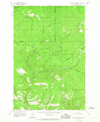
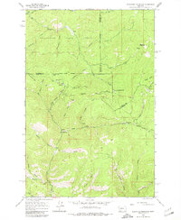
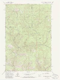
Editions of this 1965 Elevation Mountain Map
4 editions found
Other maps of this area

1919 · Drummond
USGS Topo · 1:125,000

1921 · Drummond
USGS Topo · 1:125,000

1947 · Butte
USGS Topo · 1:250,000

1958 · Butte
USGS Topo · 1:250,000

1958 · Drummond
USGS Topo · 1:62,500

1959 · Bearmouth
USGS Topo · 1:62,500

1960 · Butte
USGS Topo · 1:250,000

1962 · Butte
USGS Topo · 1:250,000

1965 · Union Peak
USGS Topo · 1:24,000

1965 · Wild Horse Parks
USGS Topo · 1:24,000