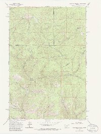
1965 Map of Elevation Mountain
USGS Topo · Published 1986About this map
Garnet and the surrounding mining districts in the Garnet Range define this mid-1960s survey. The landscape is a dense network of gulches and ridges heavily shaped by historical extraction, including the Nancy Hanks Mine, Pearl Mine, and Dandy Mine. These operations are concentrated near high points like Anaconda Hill and Anderson Hill, where the boundary between Missoula, Granite, and Powell counties converges.
Find a feature on this map
46 named features on this map. Tap any name to fly to it.
Don’t see what you’re looking for? This feature index may not catch every label — zoom into the map to look around manually.
Map Details
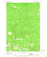
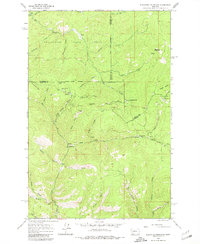
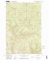
Editions of this 1965 Elevation Mountain Map
4 editions found
Other maps of this area

1919 · Drummond
USGS Topo · 1:125,000

1921 · Drummond
USGS Topo · 1:125,000

1947 · Butte
USGS Topo · 1:250,000

1958 · Butte
USGS Topo · 1:250,000

1958 · Drummond
USGS Topo · 1:62,500

1959 · Bearmouth
USGS Topo · 1:62,500

1960 · Butte
USGS Topo · 1:250,000

1962 · Butte
USGS Topo · 1:250,000

1965 · Union Peak
USGS Topo · 1:24,000

1965 · Wild Horse Parks
USGS Topo · 1:24,000