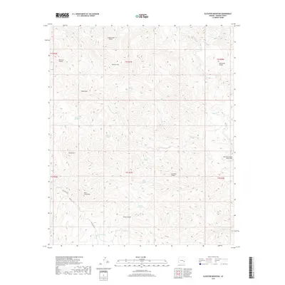
2018 Map of Elevator Mountain
USGS Topo · Published 2018About this map
Elevator Mtn stands as a central topographic anchor in this portion of Graham County, surrounded by a complex system of drainage and named canyons. The landscape is defined by the significant flow of Eagle Cr to the east and the rugged corridors of Sycamore Canyon and Windy Canyon. These drainages served as vital water sources for early cattle ranching and land use, evidenced by a network of named springs such as Boiling Spring, Maverick Spring, and McEwen Trap Spring. Human transit through this mountainous terrain is primarily facilitated by primitive routes like Black River Rd and the 1700 Rd, which navigate around the high peaks of Mescal Mtn and Kane Spring Mtn. This record illustrates the isolated character of the high desert and mountain interior, where water features like Sycamore Tank and Upper Windy Tank were critical landmarks for navigation and survival.
Find a feature on this map
35 named features on this map. Tap any name to fly to it.
Don’t see what you’re looking for? This feature index may not catch every label — zoom into the map to look around manually.
Map Details
Editions of this 2018 Elevator Mountain Map
This is the sole edition of this map. No revisions or reprints were ever made.
Other maps of this area

1902 · Clifton
USGS Topo · 1:62,500

1913 · Morenci
USGS Topo · 1:125,000

1915 · Morenci
USGS Topo · 1:125,000

1954 · Clifton
USGS Topo · 1:250,000

1957 · Clifton
USGS Topo · 1:250,000

1958 · Clifton
USGS Topo · 1:250,000

1962 · Clifton
USGS Topo · 1:250,000

1962 · Clifton
USGS Topo · 1:62,500

1962 · Bryce Mountain
USGS Topo · 1:62,500
1967 · Bee Canyon
USGS Topo · 1:24,000