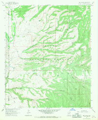
1967 Map of Bee Canyon
USGS Topo · Published 1970About this map
Apache National Forest and an Indian Reservation dominate this landscape along the border of Graham and Greenlee counties in the late 1960s. The terrain is defined by a network of drainage systems, including Eagle Creek, Big Dry Canyon, and Bear Canyon, which supported isolated ranching operations. The Double Circle Ranch sits near the creek, adjacent to a small Cem and Gaging Station. Water management is the primary sign of human development here, indicated by numerous scattered tanks such as Baseline Tank No 2, Division Tank, and Hidden Tank. High mesas like No Bar Mesa and Sunflower Mesa rise above the canyons, where jeep trails provide the only access to No Bar Ranch and remote water sources like Horse Springs.
Find a feature on this map
53 named features on this map. Tap any name to fly to it.
Don’t see what you’re looking for? This feature index may not catch every label — zoom into the map to look around manually.
Map Details
Editions of this 1967 Bee Canyon Map
2 editions found
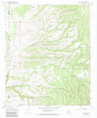
Other maps of this area

1902 · Clifton
USGS Topo · 1:62,500

1913 · Morenci
USGS Topo · 1:125,000

1915 · Morenci
USGS Topo · 1:125,000

1954 · Clifton
USGS Topo · 1:250,000

1957 · Clifton
USGS Topo · 1:250,000

1958 · Clifton
USGS Topo · 1:250,000

1962 · Clifton
USGS Topo · 1:250,000

1962 · Clifton
USGS Topo · 1:62,500

1962 · Bryce Mountain
USGS Topo · 1:62,500

1967 · Robinson Mesa
USGS Topo · 1:24,000