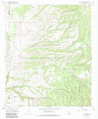
1967 Map of Bee Canyon
USGS Topo · Published 1985About this map
Eagle Creek winds along the western boundary of the Apache National Forest in this 1960s topographic study, marking a transition between the San Carlos Indian Reservation and the high country of Greenlee County. The landscape is defined by an intricate network of drainage systems, including Bear Canyon, Bee Canyon, and Cottonwood Canyon, which support isolated livestock operations in a land of scattered mesas.
Find a feature on this map
51 named features on this map. Tap any name to fly to it.
Don’t see what you’re looking for? This feature index may not catch every label — zoom into the map to look around manually.
Map Details
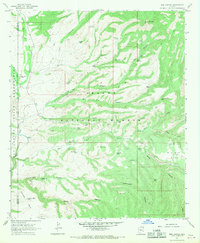
Editions of this 1967 Bee Canyon Map
2 editions found
Other maps of this area

1902 · Clifton
USGS Topo · 1:62,500

1913 · Morenci
USGS Topo · 1:125,000

1915 · Morenci
USGS Topo · 1:125,000

1954 · Clifton
USGS Topo · 1:250,000

1957 · Clifton
USGS Topo · 1:250,000

1958 · Clifton
USGS Topo · 1:250,000

1962 · Clifton
USGS Topo · 1:250,000

1962 · Clifton
USGS Topo · 1:62,500

1962 · Bryce Mountain
USGS Topo · 1:62,500

1967 · Robinson Mesa
USGS Topo · 1:24,000