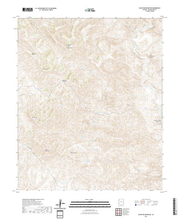
2021 Map of Elevator Mountain
USGS Topo · Published 2021About this map
Elevator Mtn stands as a prominent landmark in this high-elevation corner of Graham County, where the terrain is defined by a dense network of canyons and high ridges. The landscape is carved by seasonal drainages such as Eagle Cr and Brushy Cr, with local navigation heavily dependent on named water sources like Maverick Spring and the curiously named McEwen Trap Spring. The presence of numerous tanks and springs, including Boiling Spring and Sycamore Tank, suggests a region historically vital for livestock and local range management.
Find a feature on this map
35 named features on this map. Tap any name to fly to it.
Don’t see what you’re looking for? This feature index may not catch every label — zoom into the map to look around manually.
Map Details
Editions of this 2021 Elevator Mountain Map
This is the sole edition of this map. No revisions or reprints were ever made.
Other maps of this area

1902 · Clifton
USGS Topo · 1:62,500

1913 · Morenci
USGS Topo · 1:125,000

1915 · Morenci
USGS Topo · 1:125,000

1954 · Clifton
USGS Topo · 1:250,000

1957 · Clifton
USGS Topo · 1:250,000

1958 · Clifton
USGS Topo · 1:250,000

1962 · Clifton
USGS Topo · 1:250,000

1962 · Clifton
USGS Topo · 1:62,500

1962 · Bryce Mountain
USGS Topo · 1:62,500
1967 · Bee Canyon
USGS Topo · 1:24,000