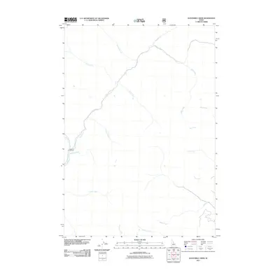
2011 Map of Elevenmile Creek
USGS Topo · Published 2011About this map
Yankee Fork and its numerous named tributaries define this high-elevation landscape in Custer County. The drainage network is characterized by a sequential numbering of streams, including Eightmile Creek, Ninemile Creek, Tenmile Creek, and Twelvemile Creek, suggesting a historic survey or travel route where distance was measured along the river corridor. This pattern of nomenclature provides a distinct geographical framework for the region, reflecting how early explorers or miners likely navigated these mountain valleys.
Find a feature on this map
18 named features on this map. Tap any name to fly to it.
Don’t see what you’re looking for? This feature index may not catch every label — zoom into the map to look around manually.
Map Details
Editions of this 2011 Elevenmile Creek Map
This is the sole edition of this map. No revisions or reprints were ever made.
Other maps of this area

1919 · Custer
USGS Topo · 1:125,000

1922 · Custer
USGS Topo · 1:125,000

1929 · Bayhorse
USGS Topo · 1:125,000

1930 · Casto
USGS Topo · 1:125,000

1956 · Twin Peaks
USGS Topo · 1:62,500

1957 · Challis
USGS Topo · 1:250,000

1960 · Challis
USGS Topo · 1:250,000

1963 · Challis
USGS Topo · 1:250,000

1963 · Challis Creek Lakes
USGS Topo · 1:24,000

1963 · Custer
USGS Topo · 1:24,000