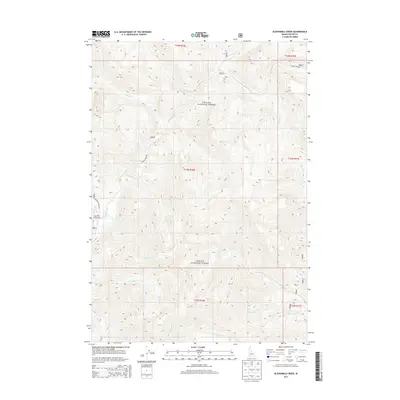
2013 Map of Elevenmile Creek
USGS Topo · Published 2013About this map
Challis National Forest dominates this section of Custer County, Idaho, where a distinct sequence of numbered drainages defines the high mountain landscape. This 2013 survey reveals a systematic naming convention for the tributaries of the Yankee Fork, with Fivemile Cr, Sixmile Cr, Sevenmile Cr, Eightmile Cr, Ninemile Cr, Tenmile Cr, and Elevenmile Cr all clearly delineated. These labels suggest a historic travel route where the distance was marked by each successive water crossing along the canyon floor.
Find a feature on this map
26 named features on this map. Tap any name to fly to it.
Don’t see what you’re looking for? This feature index may not catch every label — zoom into the map to look around manually.
Map Details
Editions of this 2013 Elevenmile Creek Map
This is the sole edition of this map. No revisions or reprints were ever made.
Other maps of this area

1919 · Custer
USGS Topo · 1:125,000

1922 · Custer
USGS Topo · 1:125,000

1929 · Bayhorse
USGS Topo · 1:125,000

1930 · Casto
USGS Topo · 1:125,000

1956 · Twin Peaks
USGS Topo · 1:62,500

1957 · Challis
USGS Topo · 1:250,000

1960 · Challis
USGS Topo · 1:250,000

1963 · Challis
USGS Topo · 1:250,000

1963 · Challis Creek Lakes
USGS Topo · 1:24,000

1963 · Custer
USGS Topo · 1:24,000