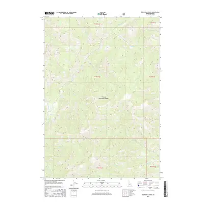
2017 Map of Elevenmile Creek
USGS Topo · Published 2017About this map
Challis National Forest dominates this high-elevation terrain in Custer County, defined by a complex drainage system that feeds into the Yankee Fork. The landscape is etched by a series of numerically named waterways, including Tenmile Cr, Ninemile Cr, and Sevenmile Cr, which descend through deep valleys toward the main river branch. This network of creeks reveals the topographical logic of the region, where water routes provided the primary means of navigation through the steep interior.
Find a feature on this map
26 named features on this map. Tap any name to fly to it.
Don’t see what you’re looking for? This feature index may not catch every label — zoom into the map to look around manually.
Map Details
Editions of this 2017 Elevenmile Creek Map
This is the sole edition of this map. No revisions or reprints were ever made.
Other maps of this area

1919 · Custer
USGS Topo · 1:125,000

1922 · Custer
USGS Topo · 1:125,000

1929 · Bayhorse
USGS Topo · 1:125,000

1930 · Casto
USGS Topo · 1:125,000

1956 · Twin Peaks
USGS Topo · 1:62,500

1957 · Challis
USGS Topo · 1:250,000

1960 · Challis
USGS Topo · 1:250,000

1963 · Challis
USGS Topo · 1:250,000

1963 · Challis Creek Lakes
USGS Topo · 1:24,000

1963 · Custer
USGS Topo · 1:24,000