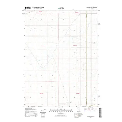
2015 Map of Elevenmile Well
USGS Topo · Published 2015About this map
Elevenmile Well serves as a lonely landmark in this high-desert expanse of northeastern Nevada, where the border of Elko and Humboldt counties meets. The landscape is defined by the ephemeral drainages of Evans Cr and Jake Cr, which carve subtle paths through the township and range grid. This 2015 survey reveals a terrain largely uninterrupted by dense settlement, where the remote Field Rd provides one of the few managed access points across the sagebrush-covered basins. Local history researchers can trace the precise county boundary lines as they bisect these ranchlands, offering a clear view of the rural infrastructure and water sources that sustain livestock operations in this arid region.
Find a feature on this map
12 named features on this map. Tap any name to fly to it.
Don’t see what you’re looking for? This feature index may not catch every label — zoom into the map to look around manually.
Map Details
Editions of this 2015 Elevenmile Well Map
This is the sole edition of this map. No revisions or reprints were ever made.
Other maps of this area

1882 · Paradise
USGS Topo · 1:250,000

1893 · Paradise
USGS Topo · 1:250,000

1932 · Sonoma Range
USGS Topo · 1:250,000

1939 · Sonoma Range
USGS Topo · 1:250,000

1955 · McDermitt
USGS Topo · 1:250,000

1955 · Winnemucca
USGS Topo · 1:250,000

1958 · Winnemucca
USGS Topo · 1:250,000

1959 · McDermitt
USGS Topo · 1:250,000

1962 · Winnemucca
USGS Topo · 1:250,000

1965 · Knight
USGS Topo · 1:24,000