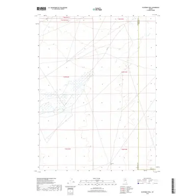
2018 Map of Elevenmile Well
USGS Topo · Published 2018About this map
Elevenmile Well and the seasonal drainages of the high desert define this corner of the Great Basin as it appeared in recent years. Located near the administrative boundary of Humboldt Co and Elko Co, the landscape is characterized by its wide alkaline flats and intermittent water systems like Evans Cr. The map reveals a sparse infrastructure of desert routes, primarily Midas Rd in the north and the utilitarian Field Rd. This 2018 survey captures the intersection of several public land survey divisions, including t37n r43e and t36n r44e, illustrating the vast, surveyed townships of the Nevada interior. The concentration of wetlands around the central portion of the quadrangle suggests a complex local hydrology where water briefly collects before evaporating into the arid basin floor.
Find a feature on this map
12 named features on this map. Tap any name to fly to it.
Don’t see what you’re looking for? This feature index may not catch every label — zoom into the map to look around manually.
Map Details
Editions of this 2018 Elevenmile Well Map
This is the sole edition of this map. No revisions or reprints were ever made.
Other maps of this area

1882 · Paradise
USGS Topo · 1:250,000

1893 · Paradise
USGS Topo · 1:250,000

1932 · Sonoma Range
USGS Topo · 1:250,000

1939 · Sonoma Range
USGS Topo · 1:250,000

1955 · McDermitt
USGS Topo · 1:250,000

1955 · Winnemucca
USGS Topo · 1:250,000

1958 · Winnemucca
USGS Topo · 1:250,000

1959 · McDermitt
USGS Topo · 1:250,000

1962 · Winnemucca
USGS Topo · 1:250,000

1965 · Knight
USGS Topo · 1:24,000