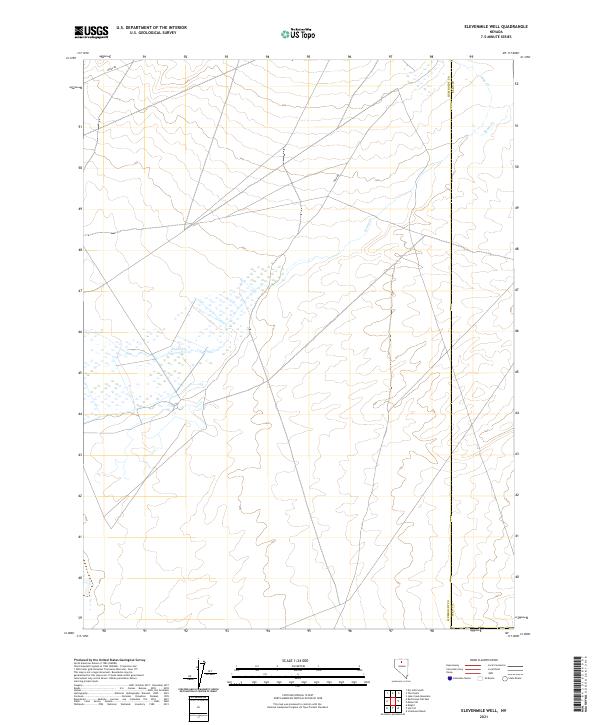
2021 Map of Elevenmile Well
USGS Topo · Published 2021About this map
The high desert landscape of Northern Nevada is defined here by the convergence of the Humboldt Co and Elko Co boundaries. This modern topographic study reveals a terrain of subtle elevation changes and seasonal watercourses, where drainage patterns are anchored by the meandering paths of Evans Cr and Jake Cr. The landscape is sparse, marked primarily by its surveying grid and the essential infrastructure required to navigate this portion of the Great Basin.
Find a feature on this map
12 named features on this map. Tap any name to fly to it.
Don’t see what you’re looking for? This feature index may not catch every label — zoom into the map to look around manually.
Map Details
Editions of this 2021 Elevenmile Well Map
This is the sole edition of this map. No revisions or reprints were ever made.
Other maps of this area

1882 · Paradise
USGS Topo · 1:250,000

1893 · Paradise
USGS Topo · 1:250,000

1932 · Sonoma Range
USGS Topo · 1:250,000

1939 · Sonoma Range
USGS Topo · 1:250,000

1955 · McDermitt
USGS Topo · 1:250,000

1955 · Winnemucca
USGS Topo · 1:250,000

1958 · Winnemucca
USGS Topo · 1:250,000

1959 · McDermitt
USGS Topo · 1:250,000

1962 · Winnemucca
USGS Topo · 1:250,000

1965 · Knight
USGS Topo · 1:24,000