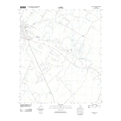
2010 Map of Elgin East
USGS Topo · Published 2010About this map
The Elgin Commercial Historic District anchors the western edge of this 2010 survey, representing a concentrated center of commerce and regional history. Extending east from Elgin, the landscape is defined by a network of creeks and rural routes, where agricultural land meets emerging development. Waterways such as Big Sandy Creek, Little Sandy Creek, and Dogwood Creek drain the area, occasionally modified by structures like the Smith Lake Dam.
Find a feature on this map
55 named features on this map. Tap any name to fly to it.
Don’t see what you’re looking for? This feature index may not catch every label — zoom into the map to look around manually.
Map Details
Editions of this 2010 Elgin East Map
This is the sole edition of this map. No revisions or reprints were ever made.
Other maps of this area

1885 · Bastrop
USGS Topo · 1:125,000

1893 · Bastrop
USGS Topo · 1:125,000

1904 · Bastrop
USGS Topo · 1:125,000

1948 · Smithville
USGS Topo · 1:62,500

1948 · Elgin
USGS Topo · 1:62,500

1948 · Bastrop
USGS Topo · 1:62,500

1948 · Lexington
USGS Topo · 1:62,500

1950 · Lexington
USGS Topo · 1:62,500

1950 · Bastrop
USGS Topo · 1:62,500

1950 · Smithville
USGS Topo · 1:62,500