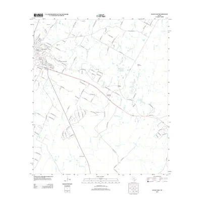
2012 Map of Elgin East
USGS Topo · Published 2012About this map
The Elgin Commercial Historic District anchors the western edge of this 2012 survey, preserving the architectural core of Elgin at the crossroads of the regional road network. Moving east from the city, the landscape transitions from residential streets like Haisler St and Louise St into a network of ranch lands and creek valleys. Waterways such as Big Sandy Cr and Little Sandy Cr define the drainage patterns of the area, winding past the small settlement of Butler. The map is particularly useful for genealogical research, documenting several burial grounds including Mt Moriah Cem, Smith Cem, and Morgan Chapel Cem. Aviation history is also represented through both the Elgin Intraconcentinental Airport and Hawken Air One Airport, while the south-central area is marked by the expansive Garwood Ranch.
Find a feature on this map
117 named features on this map. Tap any name to fly to it.
Don’t see what you’re looking for? This feature index may not catch every label — zoom into the map to look around manually.
Map Details
Editions of this 2012 Elgin East Map
This is the sole edition of this map. No revisions or reprints were ever made.
Other maps of this area

1885 · Bastrop
USGS Topo · 1:125,000

1893 · Bastrop
USGS Topo · 1:125,000

1904 · Bastrop
USGS Topo · 1:125,000

1948 · Smithville
USGS Topo · 1:62,500

1948 · Elgin
USGS Topo · 1:62,500

1948 · Bastrop
USGS Topo · 1:62,500

1948 · Lexington
USGS Topo · 1:62,500

1950 · Lexington
USGS Topo · 1:62,500

1950 · Bastrop
USGS Topo · 1:62,500

1950 · Smithville
USGS Topo · 1:62,500