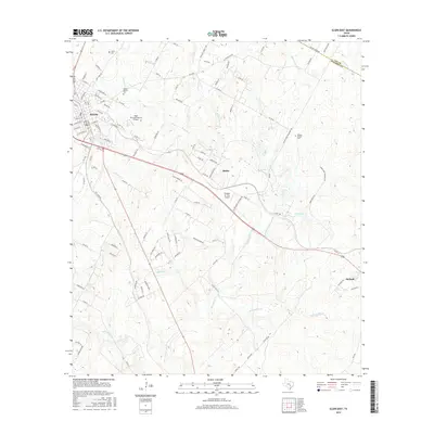
2016 Map of Elgin East
USGS Topo · Published 2016About this map
Elgin anchors the western edge of this 2016 terrain study, where the city grid meets the drainage basins of central Texas. The landscape is defined by the southeasterly flow of Big Sandy Cr and its tributaries, including Dogwood Cr and Mclaughlin Cr, which carve through the undulating countryside toward the Lee and Bastrop county line. The map captures a mix of rural industry and local history, featuring two distinct landing strips, the Elgin Intracontinental Airport and the smaller Hawken Air One Airport. Genealogists will find value in the preservation of several rural burial grounds, such as Smith Cem, Mount Moriah Cem, and Morgan Chapel Cem, which remain as fixed landmarks amidst the evolving road network connecting the settlements of Butler and McDade.
Find a feature on this map
111 named features on this map. Tap any name to fly to it.
Don’t see what you’re looking for? This feature index may not catch every label — zoom into the map to look around manually.
Map Details
Editions of this 2016 Elgin East Map
This is the sole edition of this map. No revisions or reprints were ever made.
Other maps of this area

1885 · Bastrop
USGS Topo · 1:125,000

1893 · Bastrop
USGS Topo · 1:125,000

1904 · Bastrop
USGS Topo · 1:125,000

1948 · Smithville
USGS Topo · 1:62,500

1948 · Elgin
USGS Topo · 1:62,500

1948 · Bastrop
USGS Topo · 1:62,500

1948 · Lexington
USGS Topo · 1:62,500

1950 · Lexington
USGS Topo · 1:62,500

1950 · Bastrop
USGS Topo · 1:62,500

1950 · Smithville
USGS Topo · 1:62,500