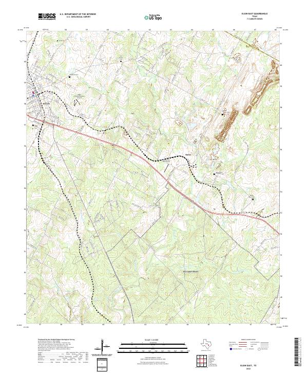
2022 Map of Elgin East
USGS Topo · Published 2022About this map
The eastern edge of Elgin and the industrial pocket of Butler define this modern look at the Central Texas landscape along the Bastrop and Lee County line. The settlement patterns shown reflect the transition from the town’s historic core to the sprawling brick-making operations that have long fueled the local economy. Genealogists and local historians will find a high density of small burial grounds across these hills, including Westbrook Cem, Elgin Latin Cem, and the Butler Brick Company Cem. The terrain is deeply incised by the drainage systems of Big Sandy Cr and Little Sandy Cr, which flow through cattle-country parcels and newer residential developments. Aviation is also prominent here, with both the Elgin Intracontinental Airport and Hawken Air One Airport providing local air access north and east of the city center.
Find a feature on this map
127 named features on this map. Tap any name to fly to it.
Don’t see what you’re looking for? This feature index may not catch every label — zoom into the map to look around manually.
Map Details
Editions of this 2022 Elgin East Map
This is the sole edition of this map. No revisions or reprints were ever made.
Other maps of this area

1885 · Bastrop
USGS Topo · 1:125,000

1893 · Bastrop
USGS Topo · 1:125,000

1904 · Bastrop
USGS Topo · 1:125,000

1948 · Smithville
USGS Topo · 1:62,500

1948 · Elgin
USGS Topo · 1:62,500

1948 · Bastrop
USGS Topo · 1:62,500

1948 · Lexington
USGS Topo · 1:62,500

1950 · Lexington
USGS Topo · 1:62,500

1950 · Bastrop
USGS Topo · 1:62,500

1950 · Smithville
USGS Topo · 1:62,500