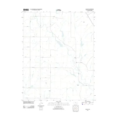
2012 Map of Elgin NE
USGS Topo · Published 2012About this map
Middle Caney Creek and its many tributaries, including Bakers Branch and Pool Creek, define the drainage patterns of this Chautauqua County landscape. The settlement at Rogers and the smaller locality of Gibbs serve as primary points of interest in this predominantly rural area. Local history is anchored by three distinct burial sites: Spring Creek Cemetery, Rogers Cemetery, and Denick Cemetery, providing essential landmarks for genealogical research. The terrain is notably interrupted by Butcher Falls on a southern branch of the creek. A network of rural roads, such as Nation and Lariat, connects various family-run operations like the McCoy Ranch, reflecting the enduring agricultural character of the region. The map also traces the winding paths of Shanghai Creek and Spring Creek as they move through the townships of Quivira and Marshall.
Find a feature on this map
31 named features on this map. Tap any name to fly to it.
Don’t see what you’re looking for? This feature index may not catch every label — zoom into the map to look around manually.
Map Details
Editions of this 2012 Elgin NE Map
This is the sole edition of this map. No revisions or reprints were ever made.
Other maps of this area

1885 · Sedan
USGS Topo · 1:125,000

1889 · Sedan
USGS Topo · 1:125,000

1955 · Wichita
USGS Topo · 1:250,000

1958 · Wichita
USGS Topo · 1:250,000

1962 · Moline
USGS Topo · 1:24,000
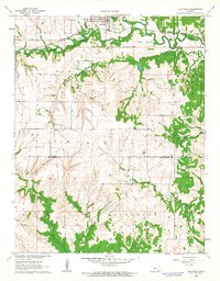
1962 · Elk Falls
USGS Topo · 1:24,000

1962 · Sedan
USGS Topo · 1:24,000
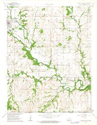
1962 · Cedar Vale East
USGS Topo · 1:24,000

1962 · Elgin NE
USGS Topo · 1:24,000
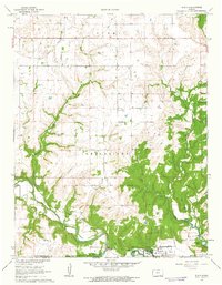
1962 · Elgin
USGS Topo · 1:24,000