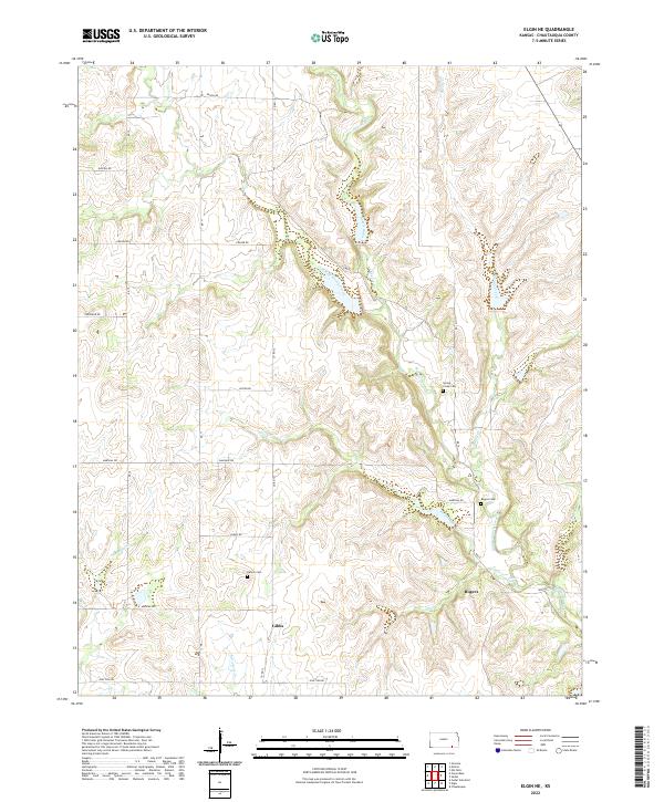
2022 Map of Elgin NE
USGS Topo · Published 2022About this map
Middle Caney Creek carves a deep path through this section of the Kansas rangelands, where the drainage network of Spring Cr and Pool Creek defines the local topography. This landscape is marked by small, scattered settlements such as Gibbs and Rogers, which serve as quiet hubs in a region dominated by large-scale land divisions and township boundaries. The map reveals a high concentration of pioneer-era burial sites, including Spring Creek Cem and Rogers Cem, indicating the deep roots of established ranching families in the area.
Find a feature on this map
34 named features on this map. Tap any name to fly to it.
Don’t see what you’re looking for? This feature index may not catch every label — zoom into the map to look around manually.
Map Details
Editions of this 2022 Elgin NE Map
This is the sole edition of this map. No revisions or reprints were ever made.
Other maps of this area

1885 · Sedan
USGS Topo · 1:125,000

1889 · Sedan
USGS Topo · 1:125,000

1955 · Wichita
USGS Topo · 1:250,000

1958 · Wichita
USGS Topo · 1:250,000

1962 · Moline
USGS Topo · 1:24,000
1962 · Elk Falls
USGS Topo · 1:24,000

1962 · Sedan
USGS Topo · 1:24,000
1962 · Cedar Vale East
USGS Topo · 1:24,000

1962 · Elgin NE
USGS Topo · 1:24,000
1962 · Elgin
USGS Topo · 1:24,000