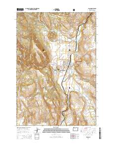
2014 Map of Elgin
USGS Topo · Published 2014About this map
The Grande Ronde River carves through the landscape near Elgin, providing a focal point for the settlement and industrial activity in the valley. The presence of the Elgin Mill Wastewater Lagoon and local infrastructure like the Hulse Airstrip reflects the town's role in processing and transportation for the surrounding region. The terrain transitions from the residential grid of Elgin to the steeper elevations of South Mountain and West Mountain, with the Umatilla National Forest boundary marking the western edge of the surveyed area.
Find a feature on this map
79 named features on this map. Tap any name to fly to it.
Don’t see what you’re looking for? This feature index may not catch every label — zoom into the map to look around manually.
Map Details
Editions of this 2014 Elgin Map
This is the sole edition of this map. No revisions or reprints were ever made.
Other maps of this area

1906 · Telocaset
USGS Topo · 1:125,000

1953 · Pendleton
USGS Topo · 1:250,000

1955 · Grangeville
USGS Topo · 1:250,000

1956 · Pendleton
USGS Topo · 1:250,000

1959 · Grangeville
USGS Topo · 1:250,000

1963 · Andies Prairie
USGS Topo · 1:24,000

1963 · Sanderson Spring
USGS Topo · 1:24,000

1963 · Summerville
USGS Topo · 1:24,000

1964 · Partridge Creek
USGS Topo · 1:24,000

1964 · Cricket Flat
USGS Topo · 1:24,000