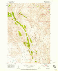
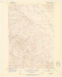
1952 Map of Eli Spring
USGS Topo · Published 1958About this map
Grasshopper Creek flows across the northern reaches of this Beaverhead County landscape, where the terrain transitions from high ridges to the broad drainage of Hans Peterson Flats. The area is characterized by high-elevation landforms like Henneberry Ridge and Madigan Gulch, showing a territory defined by its water sources and mining history. A Strip Mine is located near the northern border, reflecting the extractive industries of the mid-century era, while the solitary Windmill to the south and the Frenchie Place settlement suggest a history of isolated cattle ranching and homesteading. At the southern edge, Horse Prairie Creek provides a natural corridor through the hills. This 1952 survey, which utilized 1950 aerial photography, documents the network of primitive routes and a single Jeep Trail that navigated the complex topography between Eli Spring and Cedar Creek.
Find a feature on this map
14 named features on this map. Tap any name to fly to it.
Don’t see what you’re looking for? This feature index may not catch every label — zoom into the map to look around manually.
Map Details
Editions of this 1952 Eli Spring Map
4 editions found
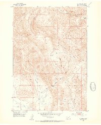
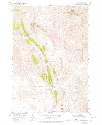
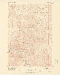
Other maps of this area

1893 · Dillon
USGS Topo · 1:250,000
1952 · Bannack
USGS Topo · 1:24,000
1952 · Burns Mountain
USGS Topo · 1:24,000
1952 · Eli Spring
USGS Topo · 1:24,000
1952 · Dalys
USGS Topo · 1:24,000

1955 · Dubois
USGS Topo · 1:250,000

1955 · Dillon
USGS Topo · 1:250,000

1957 · Dillon
USGS Topo · 1:250,000

1958 · Dubois
USGS Topo · 1:250,000

1958 · Dillon
USGS Topo · 1:250,000