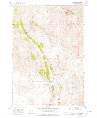
1952 Map of Eli Spring
USGS Topo · Published 1979About this map
Hans Peterson Flats and the high terrain of Henneberry Ridge dominate this high-altitude landscape in Beaverhead County. The geography is defined by a network of drainage basins, including Grasshopper Creek in the north and Horse Prairie Creek to the south. Human presence is marked by isolated landmarks like the Frenchie Place and a lonely Windmill, alongside evidence of resource extraction at a Strip Mine near the northern boundary.
Find a feature on this map
15 named features on this map. Tap any name to fly to it.
Don’t see what you’re looking for? This feature index may not catch every label — zoom into the map to look around manually.
Map Details
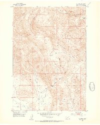
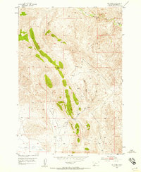
Editions of this 1952 Eli Spring Map
4 editions found
Other maps of this area

1893 · Dillon
USGS Topo · 1:250,000

1952 · Bannack
USGS Topo · 1:24,000

1952 · Burns Mountain
USGS Topo · 1:24,000

1952 · Eli Spring
USGS Topo · 1:24,000

1952 · Dalys
USGS Topo · 1:24,000

1955 · Dubois
USGS Topo · 1:250,000

1955 · Dillon
USGS Topo · 1:250,000

1957 · Dillon
USGS Topo · 1:250,000

1958 · Dubois
USGS Topo · 1:250,000

1958 · Dillon
USGS Topo · 1:250,000