
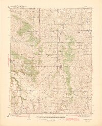
1945 Map of Elizabeth
USGS Topo · Published 1945About this map
Elizabeth serves as the central hub of this mid-century prairie landscape, where the agricultural and extractive history of the Douglas and Elbert county line is clearly visible. The map highlights a significant moment in regional history with the noted Site of Gold Discovery by Russell along the drainage of Russellville Gulch, a reminder of the area's early mining prospects.
Find a feature on this map
40 named features on this map. Tap any name to fly to it.
Don’t see what you’re looking for? This feature index may not catch every label — zoom into the map to look around manually.
Map Details
Editions of this 1945 Elizabeth Map
2 editions found
Other maps of this area

1890 · East Denver
USGS Topo · 1:125,000

1894 · Castle Rock
USGS Topo · 1:125,000

1913 · Castle Rock
USGS Topo · 1:125,000

1935 · East Denver Nos. 3 and 4
USGS Topo · 1:48,000

1939 · Elizabeth
USGS Topo · 1:62,500

1940 · Piney Creek
USGS Topo · 1:24,000

1940 · Elbert
USGS Topo · 1:62,500

1940 · Castle Rock
USGS Topo · 1:62,500

1942 · Parker
USGS Topo · 1:31,680

1942 · Piney Creek
USGS Topo · 1:31,680