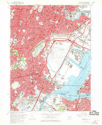
1967 Map of Elizabeth
USGS Topo · Published 1970About this map
Newark and its surrounding industrial and transit corridors define this mid-century landscape at the intersection of the Passaic River and Newark Bay. The map documents the immense infrastructure of the Newark Airport and the complex rail networks of the Penn Central, Lehigh Valley, and Central RR of New Jersey. Extensive maritime facilities, including the Port Newark Channel and Elizabeth Channel, show the density of mid-to-late 20th-century shipping and manufacturing.
Find a feature on this map
117 named features on this map. Tap any name to fly to it.
Don’t see what you’re looking for? This feature index may not catch every label — zoom into the map to look around manually.
Map Details
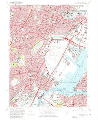
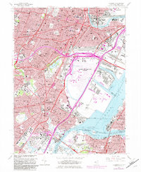
Editions of this 1967 Elizabeth Map
Other maps of this area

1888 · Plainfield
USGS Topo · 1:62,500

1888 · Morristown
USGS Topo · 1:62,500

1888 · Paterson
USGS Topo · 1:62,500

1892 · Paterson
USGS Topo · 1:62,500

1893 · Plainfield
USGS Topo · 1:62,500

1894 · Morristown
USGS Topo · 1:62,500

1898 · Morristown
USGS Topo · 1:62,500

1898 · Plainfield
USGS Topo · 1:62,500

1898 · Staten Island
USGS Topo · 1:62,500

1898 · Paterson
USGS Topo · 1:62,500