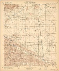
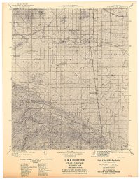
1917 Map of Elizabeth Lake
USGS Topo · Published 1917About this map
Chief Engineer Wm. Mulholland and the Board of Public Service Commissioners collaborated on this 1917 study, which documents the critical infrastructure of the Los Angeles Aqueduct as it traverses the high desert. The map captures the Antelope Valley and the northern reaches of the Santa Barbara National Forest during a period of rapid hydraulic and transit development. The infrastructure is underscored by the Antelope Valley Pumping Sta and various ranches like Ritter Ranch and Garrison Ranch, reflecting the early agricultural and utility footprint of the region.
Find a feature on this map
67 named features on this map. Tap any name to fly to it.
Don’t see what you’re looking for? This feature index may not catch every label — zoom into the map to look around manually.
Map Details
Editions of this 1917 Elizabeth Lake Map
6 editions found

Other maps of this area

1900 · Tujunga
USGS Topo · 1:62,500

1900 · Fernando
USGS Topo · 1:62,500

1901 · Southern California Sheet No. 1
USGS Topo · 1:250,000

1903 · Tejon
USGS Topo · 1:125,000

1903 · Rock Creek
USGS Topo · 1:62,500

1903 · Camulos
USGS Topo · 1:125,000

1903 · Santa Susana
USGS Topo · 1:62,500

1904 · Southern California Sheet No. 1
USGS Topo · 1:250,000

1914 · Caliente
USGS Topo · 1:125,000

1915 · Elizabeth Lake
USGS Topo · 1:125,000