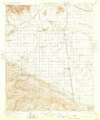
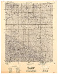
1917 Map of Elizabeth Lake
USGS Topo · Published 1932About this map
Antelope Valley forms a wide alluvial basin between the Tehachapi Mountains and the Sierra Pelona range in this early twentieth-century survey. The landscape is defined by the critical infrastructure of the Los Angeles Aqueduct and the crossing of two major railroads, the Southern Pacific and the Atchison Topeka and Santa Fe. Settlement patterns are concentrated along these rail corridors, with Lancaster and Palmdale serving as central hubs for a network of rural schools and family ranches like Ritter Ranch and Johnson Ranch. Resource extraction is evident in the southern mountains, where the Gray Eagle Mine and Red Rover Mine are located. To the west, the fault-aligned basins of Elizabeth Lake and Hughes Lake provide a distinct contrast to the arid expanse of Rosamond Lake to the northeast.
Find a feature on this map
63 named features on this map. Tap any name to fly to it.
Don’t see what you’re looking for? This feature index may not catch every label — zoom into the map to look around manually.
Map Details
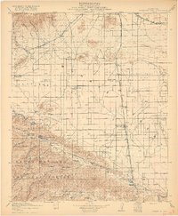
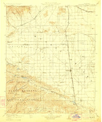
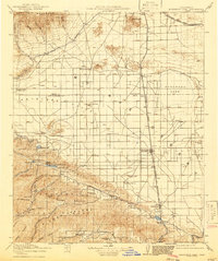
Editions of this 1917 Elizabeth Lake Map
6 editions found

Other maps of this area

1900 · Tujunga
USGS Topo · 1:62,500

1900 · Fernando
USGS Topo · 1:62,500

1901 · Southern California Sheet No. 1
USGS Topo · 1:250,000

1903 · Tejon
USGS Topo · 1:125,000

1903 · Rock Creek
USGS Topo · 1:62,500

1903 · Camulos
USGS Topo · 1:125,000

1903 · Santa Susana
USGS Topo · 1:62,500

1904 · Southern California Sheet No. 1
USGS Topo · 1:250,000

1914 · Caliente
USGS Topo · 1:125,000

1915 · Elizabeth Lake
USGS Topo · 1:125,000