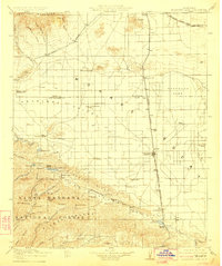
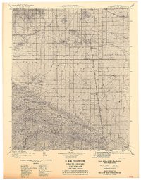
1917 Map of Elizabeth Lake
USGS Topo · Published 1923About this map
Antelope Valley dominates this 1915 survey, revealing a landscape defined by burgeoning transportation corridors and hydraulic engineering. The path of the Los Angeles Aqueduct snakes across the northwestern corner, a monument to the ambitions of Wm. Mulholland as it delivers water from the north toward the city. Settlements like Lancaster and Palmdale are already established along the Southern Pacific rail line, which served as the region's primary lifeline.
Find a feature on this map
70 named features on this map. Tap any name to fly to it.
Don’t see what you’re looking for? This feature index may not catch every label — zoom into the map to look around manually.
Map Details
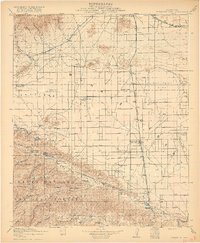
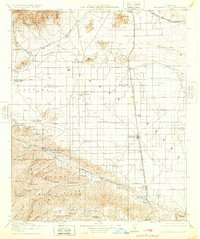
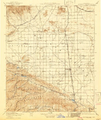
Editions of this 1917 Elizabeth Lake Map
6 editions found

Other maps of this area

1900 · Tujunga
USGS Topo · 1:62,500

1900 · Fernando
USGS Topo · 1:62,500

1901 · Southern California Sheet No. 1
USGS Topo · 1:250,000

1903 · Tejon
USGS Topo · 1:125,000

1903 · Rock Creek
USGS Topo · 1:62,500

1903 · Camulos
USGS Topo · 1:125,000

1903 · Santa Susana
USGS Topo · 1:62,500

1904 · Southern California Sheet No. 1
USGS Topo · 1:250,000

1914 · Caliente
USGS Topo · 1:125,000

1915 · Elizabeth Lake
USGS Topo · 1:125,000