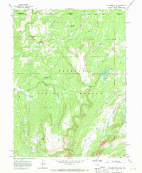
1967 Map of Elizabeth Mtn
USGS Topo · Published 1968About this map
Wasatch National Forest dominates this high-altitude landscape along the border of Uinta and Summit Counties. The terrain is defined by the headwaters of major drainage systems, including the West Fork Blacks Fork and Mill Creek, which flow through deep glacial valleys. Administrative presence in this backcountry is marked by the Mill Creek Guard Station, while high-elevation water bodies like Elizabeth Lake, Fish Lake, and Moslander Reservoir are pockets of activity in the wilderness. The map captures the rugged geography of the Uinta Range, characterized by prominent features such as Elizabeth Mountain, Elizabeth Pass, and the curiously named rock formation known as The Woodpile. A network of established Trails and Jeep Trails provides the only access through these steep corridors, reflecting the area's role as a managed natural resource and recreation zone during the mid-1960s.
Find a feature on this map
20 named features on this map. Tap any name to fly to it.
Don’t see what you’re looking for? This feature index may not catch every label — zoom into the map to look around manually.
Map Details
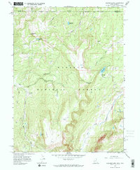
Editions of this 1967 Elizabeth Mtn Map
2 editions found
Other maps of this area

1885 · Uinta
USGS Topo · 1:250,000

1901 · Hayden Peak
USGS Topo · 1:125,000

1903 · Hayden Peak
USGS Topo · 1:125,000

1954 · Salt Lake City
USGS Topo · 1:250,000

1954 · Ogden
USGS Topo · 1:250,000

1958 · Ogden
USGS Topo · 1:250,000

1958 · Salt Lake City
USGS Topo · 1:250,000

1960 · Ogden
USGS Topo · 1:250,000

1960 · Salt Lake City
USGS Topo · 1:250,000
1965 · Pine Knoll
USGS Topo · 1:24,000