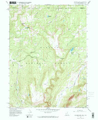
1967 Map of Elizabeth Mtn
USGS Topo · Published 1968About this map
Wasatch National Forest dominates this 1960s survey of the high Uinta Mountains, where the drainage systems of Mill Creek and the West Fork Blacks Fork originate. The rugged terrain is punctuated by high-altitude features like Elizabeth Mtn, which towers over the surrounding basins, and Table Top, a significant plateau. The map records early management and access infrastructure, including the Mill Creek Guard Station and a network of jeep and pack trails that navigate the high country.
Find a feature on this map
27 named features on this map. Tap any name to fly to it.
Don’t see what you’re looking for? This feature index may not catch every label — zoom into the map to look around manually.
Map Details
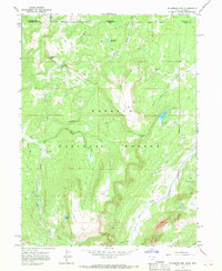
Editions of this 1967 Elizabeth Mtn Map
2 editions found
Other maps of this area

1885 · Uinta
USGS Topo · 1:250,000

1901 · Hayden Peak
USGS Topo · 1:125,000

1903 · Hayden Peak
USGS Topo · 1:125,000

1954 · Salt Lake City
USGS Topo · 1:250,000

1954 · Ogden
USGS Topo · 1:250,000

1958 · Ogden
USGS Topo · 1:250,000

1958 · Salt Lake City
USGS Topo · 1:250,000

1960 · Ogden
USGS Topo · 1:250,000

1960 · Salt Lake City
USGS Topo · 1:250,000
1965 · Pine Knoll
USGS Topo · 1:24,000