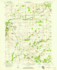
1958 Map of Elizabethtown
USGS Topo · Published 1959About this map
Elizabethtown and Jewell Village anchor the southern reaches of this mid-century rural landscape, where the confluence of agriculture and industry is defined by a dense network of transit. The Pennsylvania railroad cuts a sharp diagonal through the countryside, intersecting with the Milwaukee ST Paul And Pacific and the Chicago And Pennsylvania lines to form a major rail hub near the town center. This intersection highlights the importance of the rail economy for the small farming communities of Clay and Sand Creek townships.
Find a feature on this map
32 named features on this map. Tap any name to fly to it.
Don’t see what you’re looking for? This feature index may not catch every label — zoom into the map to look around manually.
Map Details
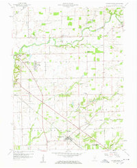
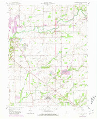
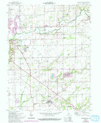
Editions of this 1958 Elizabethtown Map
4 editions found
Other maps of this area

1942 · Columbus
USGS Topo · 1:125,000

1947 · Hope
USGS Topo · 1:24,000

1948 · Edinburg
USGS Topo · 1:24,000

1948 · Hope
USGS Topo · 1:24,000

1950 · Edinburg
USGS Topo · 1:62,500

1953 · Cincinnati
USGS Topo · 1:250,000

1957 · Cincinnati
USGS Topo · 1:250,000

1957 · Jonesville
USGS Topo · 1:24,000

1957 · Azalia
USGS Topo · 1:24,000

1957 · North Vernon
USGS Topo · 1:24,000