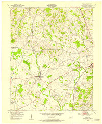
1960 Map of Elizabethtown
USGS Topo · Published 1965About this map
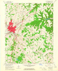
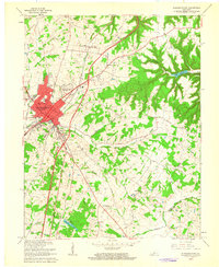
Elizabethtown serves as the focal point of this mid-century survey, shown during a period of significant infrastructure expansion. The map details the convergence of the Louisville and Nashville Railroad and the newly developed Kentucky Toll Road, illustrating the town's evolution as a regional transportation hub. Residential growth is evident in neighborhoods like Indian Hills, while the surrounding rural landscape is dotted with family-named landmarks and institutions such as St James Ch, Severns Valley Ch, and the McCullum Cem.
Find a feature on this map
52 named features on this map. Tap any name to fly to it.
Don’t see what you’re looking for? This feature index may not catch every label — zoom into the map to look around manually.
Map Details
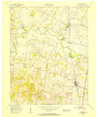
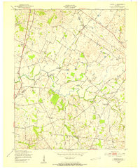
Editions of this 1960 Elizabethtown Map
2 editions found
Other maps of this area
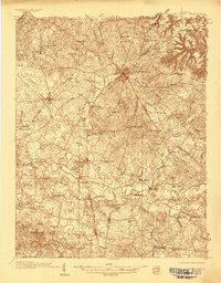
1935 · Elizabethtown
USGS Topo · 1:48,000

1936 · Vine Grove
USGS Topo · 1:62,500
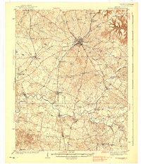
1938 · Elizabethtown
USGS Topo · 1:62,500

1943 · Vine Grove
USGS Topo · 1:62,500
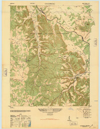
1946 · Colesburg
USGS Topo · 1:24,000

1946 · Vine Grove
USGS Topo · 1:24,000

1946 · Vine Grove
USGS Topo · 1:62,500
1948 · Cecilia
USGS Topo · 1:24,000
1949 · Sonora
USGS Topo · 1:24,000
1949 · Tonieville
USGS Topo · 1:24,000