
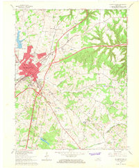
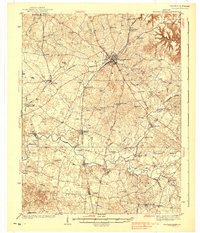
1967 Map of Elizabethtown
USGS Topo · Published 1977About this map
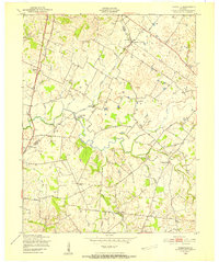
Elizabethtown serves as a major regional crossroads in this 1967 revision, where the Kentucky Turnpike, Blue Grass Parkway, and Western Kentucky Parkway all converge. The urban center is densely detailed, showing the Courthouse, Library, and Armory alongside historic spiritual and educational institutions like Severns Valley Ch and St James High Sch.
Find a feature on this map
57 named features on this map. Tap any name to fly to it.
Don’t see what you’re looking for? This feature index may not catch every label — zoom into the map to look around manually.
Map Details
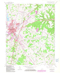
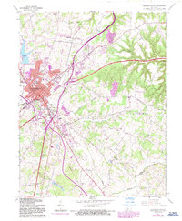
Editions of this 1967 Elizabethtown Map
4 editions found
Other maps of this area
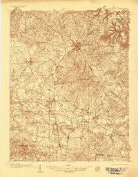
1935 · Elizabethtown
USGS Topo · 1:48,000

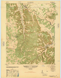
1936 · Vine Grove
USGS Topo · 1:62,500
1938 · Elizabethtown
USGS Topo · 1:62,500

1943 · Vine Grove
USGS Topo · 1:62,500
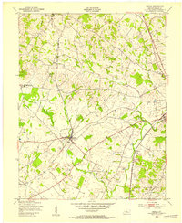
1946 · Colesburg
USGS Topo · 1:24,000

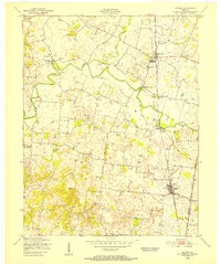
1946 · Vine Grove
USGS Topo · 1:24,000

1946 · Vine Grove
USGS Topo · 1:62,500
1948 · Cecilia
USGS Topo · 1:24,000
1949 · Sonora
USGS Topo · 1:24,000
1949 · Tonieville
USGS Topo · 1:24,000