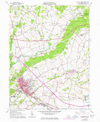
1964 Map of Elizabethtown
USGS Topo · Published 1978About this map
Elizabethtown serves as the primary hub of this 1960s landscape, which spans the borders of Lancaster, Dauphin, and Lebanon Counties. The town's detailed street grid and corporate boundary are defined by the Penn Central railroad and the sprawling campus of the Masonic Home. To the north, the corridor between Bachmanville and Colebrook is characterized by rural crossroads and institutional landmarks like the State Hospital.
Find a feature on this map
54 named features on this map. Tap any name to fly to it.
Don’t see what you’re looking for? This feature index may not catch every label — zoom into the map to look around manually.
Map Details
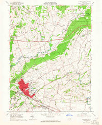
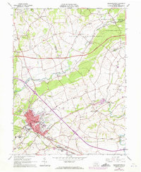
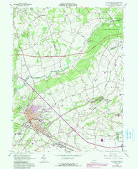
Editions of this 1964 Elizabethtown Map
4 editions found
Other maps of this area

1891 · Lebanon
USGS Topo · 1:62,500

1892 · Hummelstown
USGS Topo · 1:62,500

1893 · Lebanon
USGS Topo · 1:62,500

1899 · Lebanon
USGS Topo · 1:62,500

1902 · Lancaster
USGS Topo · 1:62,500

1904 · Lancaster
USGS Topo · 1:62,500

1908 · Middletown
USGS Topo · 1:62,500

1924 · Hummelstown
USGS Topo · 1:62,500

1943 · Lancaster
USGS Topo · 1:62,500

1943 · Lebanon
USGS Topo · 1:62,500
Featured Places
- Elizabethtown, PA
- Mount Joy Township, PA
- Rapho Township, PA
- Bachmanville, Conewago Township
- Conewago Township, PA