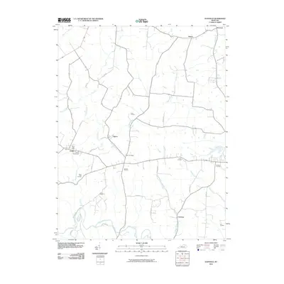
2010 Map of Elizaville
USGS Topo · Published 2010About this map
Ewing and the surrounding Fleming County countryside appear here in a landscape defined by small rural hubs and an extensive creek system. The map records the community infrastructure of the early 21st century, including the Ewing Post Office and the Ewing Fairgrounds, which serve as local focal points. Moving through the center of the sheet, the settlement of Nepton sits near the crossing of Mud Lick Creek, where the Mud Lick Bridge facilitates travel across the drainage basin.
Find a feature on this map
41 named features on this map. Tap any name to fly to it.
Don’t see what you’re looking for? This feature index may not catch every label — zoom into the map to look around manually.
Map Details
Editions of this 2010 Elizaville Map
This is the sole edition of this map. No revisions or reprints were ever made.
Other maps of this area

1915 · Maysville
USGS Topo · 1:62,500

1919 · Maysville
USGS Topo · 1:62,500

1929 · Springdale
USGS Topo · 1:48,000

1935 · Springdale
USGS Topo · 1:62,500

1951 · Hillsboro
USGS Topo · 1:24,000

1951 · Flemingsburg
USGS Topo · 1:24,000

1952 · Cowan
USGS Topo · 1:24,000

1952 · Sherburne
USGS Topo · 1:24,000

1952 · Elizaville
USGS Topo · 1:24,000

1952 · Sardis
USGS Topo · 1:24,000