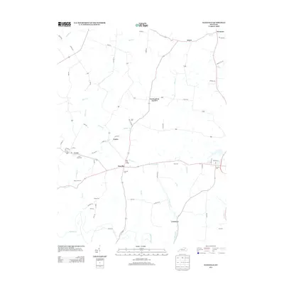
2013 Map of Elizaville
USGS Topo · Published 2013About this map
The farming community of Elizaville and the neighboring rail-linked town of Ewing anchor this 2013 topographic study of western Fleming County. The landscape is defined by the winding paths of Mud Lick Cr and Johnson Cr, which cut through a terrain of scattered homesteads and rural road networks. Local history is deeply etched into the land through numerous family and community burial grounds, including the Bruce Cem and the Elizaville Cem located just south of the village center.
Find a feature on this map
66 named features on this map. Tap any name to fly to it.
Don’t see what you’re looking for? This feature index may not catch every label — zoom into the map to look around manually.
Map Details
Editions of this 2013 Elizaville Map
This is the sole edition of this map. No revisions or reprints were ever made.
Other maps of this area

1915 · Maysville
USGS Topo · 1:62,500

1919 · Maysville
USGS Topo · 1:62,500

1929 · Springdale
USGS Topo · 1:48,000

1935 · Springdale
USGS Topo · 1:62,500

1951 · Hillsboro
USGS Topo · 1:24,000

1951 · Flemingsburg
USGS Topo · 1:24,000

1952 · Cowan
USGS Topo · 1:24,000

1952 · Sherburne
USGS Topo · 1:24,000

1952 · Elizaville
USGS Topo · 1:24,000

1952 · Sardis
USGS Topo · 1:24,000