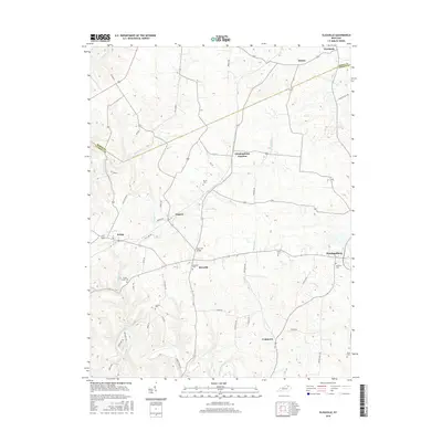
2016 Map of Elizaville
USGS Topo · Published 2016About this map
The rolling landscape of western Fleming County is defined by its network of creek forks and scattered rural settlements. Elizaville and Ewing anchor the southern and western portions of the quadrangle, connected by roads that navigate the drainage basins of Johnson Cr and Mud Lick Cr. The survey reveals a high density of family and community burial grounds, including the Elizaville Cem and Poplar Creek Cem, which offer significant value for genealogical research in this part of Kentucky.
Find a feature on this map
55 named features on this map. Tap any name to fly to it.
Don’t see what you’re looking for? This feature index may not catch every label — zoom into the map to look around manually.
Map Details
Editions of this 2016 Elizaville Map
This is the sole edition of this map. No revisions or reprints were ever made.
Other maps of this area

1915 · Maysville
USGS Topo · 1:62,500

1919 · Maysville
USGS Topo · 1:62,500

1929 · Springdale
USGS Topo · 1:48,000

1935 · Springdale
USGS Topo · 1:62,500

1951 · Hillsboro
USGS Topo · 1:24,000

1951 · Flemingsburg
USGS Topo · 1:24,000

1952 · Cowan
USGS Topo · 1:24,000

1952 · Sherburne
USGS Topo · 1:24,000

1952 · Elizaville
USGS Topo · 1:24,000

1952 · Sardis
USGS Topo · 1:24,000