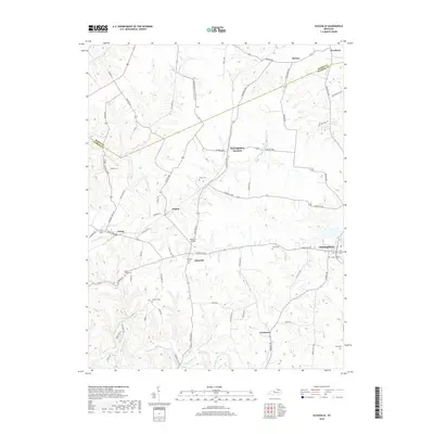
2019 Map of Elizaville
USGS Topo · Published 2019About this map
Fleming Creek and its many tributaries, including Doty Br and Craintown Br, carve a dense network of ridges and hollows across this portion of northern Kentucky. The landscape is defined by its rural connectivity, where local history is etched into the terrain through family and community landmarks like Mud Lick Bridge and numerous burial grounds such as Bruce Cem and Poplar Creek Cem. Small settlements like Nepton, Ewing, and Elizaville serve as local anchors, while the Mason Co Fleming Co boundary line cuts across the northern hills near Weedonia. The presence of Flemingsburg Junction and roads like Convict Pike and Kelley Pike suggests a long-standing transportation network that follows the natural contours of the land, linking the scattered farmsteads and rural crossroads that have shaped this region for generations.
Find a feature on this map
74 named features on this map. Tap any name to fly to it.
Don’t see what you’re looking for? This feature index may not catch every label — zoom into the map to look around manually.
Map Details
Editions of this 2019 Elizaville Map
This is the sole edition of this map. No revisions or reprints were ever made.
Other maps of this area

1915 · Maysville
USGS Topo · 1:62,500

1919 · Maysville
USGS Topo · 1:62,500

1929 · Springdale
USGS Topo · 1:48,000

1935 · Springdale
USGS Topo · 1:62,500

1951 · Hillsboro
USGS Topo · 1:24,000

1951 · Flemingsburg
USGS Topo · 1:24,000

1952 · Cowan
USGS Topo · 1:24,000

1952 · Sherburne
USGS Topo · 1:24,000

1952 · Elizaville
USGS Topo · 1:24,000

1952 · Sardis
USGS Topo · 1:24,000