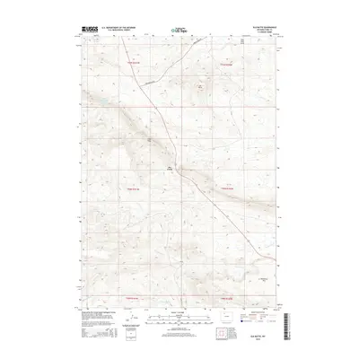
2015 Map of Elk Butte
USGS Topo · Published 2015About this map
Elk Butte stands as a prominent elevation in this high-desert landscape of Park County, where the terrain is defined by deep coulees and seasonal drainages. This modern survey illustrates a region shaped by resource management and ranching infrastructure, evidenced by the First Enlargement Thomsen Reservoir and a network of county roads including Oregon Basin Rd. The topography is etched by the intricate paths of Dry Creek and its many tributaries, such as the S Fork Dry Cr, cutting through the ridges.
Find a feature on this map
20 named features on this map. Tap any name to fly to it.
Don’t see what you’re looking for? This feature index may not catch every label — zoom into the map to look around manually.
Map Details
Editions of this 2015 Elk Butte Map
This is the sole edition of this map. No revisions or reprints were ever made.
Other maps of this area

1911 · Meeteetse
USGS Topo · 1:62,500

1911 · Oregon Basin
USGS Topo · 1:62,500

1913 · Oregon Basin
USGS Topo · 1:62,500

1913 · Meeteetse
USGS Topo · 1:62,500

1955 · Cody
USGS Topo · 1:250,000

1957 · Devils Tooth
USGS Topo · 1:62,500

1957 · Sunshine Reservoir
USGS Topo · 1:62,500

1958 · Cody
USGS Topo · 1:250,000

1962 · Cody
USGS Topo · 1:250,000

1980 · Carter Mountain
USGS Topo · 1:100,000