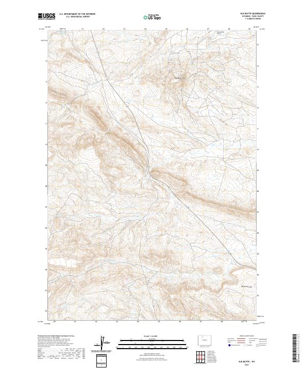
2021 Map of Elk Butte
USGS Topo · Published 2021About this map
Elk Butte rises as a prominent landmark in this section of the Bighorn Basin, anchoring a landscape defined by significant elevation changes and deep drainage networks. The terrain is marked by the sharp profile of Cedar Ridge and the extensive Meeteetse Rim to the south, which overlooks the valley of Cottonwood Cr. The map reveals a complex system of seasonal watercourses, including Coal Mine Gulch and Oregon Coulee, illustrating how water has historically shaped the local topography.
Find a feature on this map
18 named features on this map. Tap any name to fly to it.
Don’t see what you’re looking for? This feature index may not catch every label — zoom into the map to look around manually.
Map Details
Editions of this 2021 Elk Butte Map
This is the sole edition of this map. No revisions or reprints were ever made.
Other maps of this area

1911 · Meeteetse
USGS Topo · 1:62,500

1911 · Oregon Basin
USGS Topo · 1:62,500

1913 · Oregon Basin
USGS Topo · 1:62,500

1913 · Meeteetse
USGS Topo · 1:62,500

1955 · Cody
USGS Topo · 1:250,000

1957 · Devils Tooth
USGS Topo · 1:62,500

1957 · Sunshine Reservoir
USGS Topo · 1:62,500

1958 · Cody
USGS Topo · 1:250,000

1962 · Cody
USGS Topo · 1:250,000

1980 · Carter Mountain
USGS Topo · 1:100,000