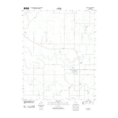
2010 Map of Elk City
USGS Topo · Published 2010About this map
Elk City serves as the focal point of this Montgomery County landscape, situated where the meandering Elk River meets the waters of Duck Creek. The town's grid is clearly defined by local thoroughfares such as Hickory St and Jackson St, while the surrounding rural countryside is marked by several longstanding burial grounds that offer significant value for genealogical research. These include Oak Hill Cemetery on the eastern edge of town, Woodring Cemetery to the south, and the more distant Star Center Cemetery and Oak Valley Cemetery.
Find a feature on this map
34 named features on this map. Tap any name to fly to it.
Don’t see what you’re looking for? This feature index may not catch every label — zoom into the map to look around manually.
Map Details
Editions of this 2010 Elk City Map
This is the sole edition of this map. No revisions or reprints were ever made.
Other maps of this area

1885 · Sedan
USGS Topo · 1:125,000

1886 · Independence
USGS Topo · 1:125,000

1889 · Sedan
USGS Topo · 1:125,000

1894 · Independence
USGS Topo · 1:125,000

1905 · Independence
USGS Topo · 1:125,000

1947 · Joplin
USGS Topo · 1:250,000

1949 · Joplin
USGS Topo · 1:250,000

1954 · Joplin
USGS Topo · 1:250,000

1955 · Wichita
USGS Topo · 1:250,000

1958 · Wichita
USGS Topo · 1:250,000