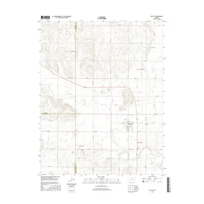
2016 Map of Elk City
USGS Topo · Published 2016About this map
Elk City sits at the convergence of several major watercourses and county lines in this southeast Kansas landscape. The town is situated on the banks of the Elk River, which winds through the southern portion of the quadrangle where it meets Duck Creek and Salt Cr. To the north and east, the terrain is defined by the drainage basins of Little Duck Cr and Bachelor Cr, showing a complex topography of ridges and valleys that transition into the flatter plains.
Find a feature on this map
62 named features on this map. Tap any name to fly to it.
Don’t see what you’re looking for? This feature index may not catch every label — zoom into the map to look around manually.
Map Details
Editions of this 2016 Elk City Map
This is the sole edition of this map. No revisions or reprints were ever made.
Other maps of this area

1885 · Sedan
USGS Topo · 1:125,000

1886 · Independence
USGS Topo · 1:125,000

1889 · Sedan
USGS Topo · 1:125,000

1894 · Independence
USGS Topo · 1:125,000

1905 · Independence
USGS Topo · 1:125,000

1947 · Joplin
USGS Topo · 1:250,000

1949 · Joplin
USGS Topo · 1:250,000

1954 · Joplin
USGS Topo · 1:250,000

1955 · Wichita
USGS Topo · 1:250,000

1958 · Wichita
USGS Topo · 1:250,000