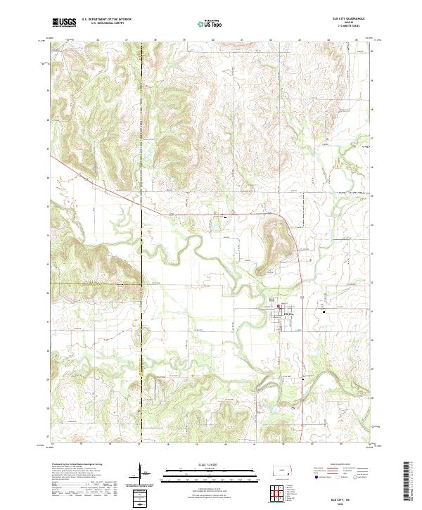
2022 Map of Elk City
USGS Topo · Published 2022About this map
Elk City serves as the focal point of this Montgomery County landscape, situated where the Elk River meets the meandering path of Salt Cr. The settlement pattern reflects the traditional Kansas township and range system, with a dense network of county roads like Blackjack Rd and Valley Rd connecting local farmsteads. For genealogists, the map preserves the exact locations of several local burial grounds, including Oak Hill Cem on the eastern edge of town and Star Center Cem to the northwest.
Find a feature on this map
64 named features on this map. Tap any name to fly to it.
Don’t see what you’re looking for? This feature index may not catch every label — zoom into the map to look around manually.
Map Details
Editions of this 2022 Elk City Map
This is the sole edition of this map. No revisions or reprints were ever made.
Other maps of this area

1885 · Sedan
USGS Topo · 1:125,000

1886 · Independence
USGS Topo · 1:125,000

1889 · Sedan
USGS Topo · 1:125,000

1894 · Independence
USGS Topo · 1:125,000

1905 · Independence
USGS Topo · 1:125,000

1947 · Joplin
USGS Topo · 1:250,000

1949 · Joplin
USGS Topo · 1:250,000

1954 · Joplin
USGS Topo · 1:250,000

1955 · Wichita
USGS Topo · 1:250,000

1958 · Wichita
USGS Topo · 1:250,000