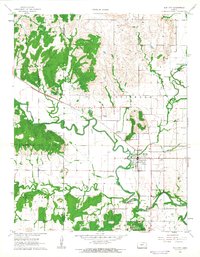
1962 Map of Elk City
USGS Topo · Published 1963About this map
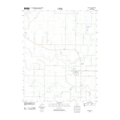
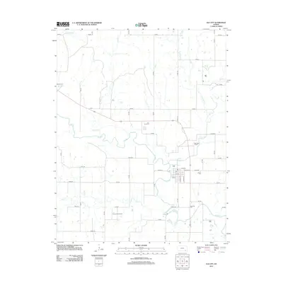
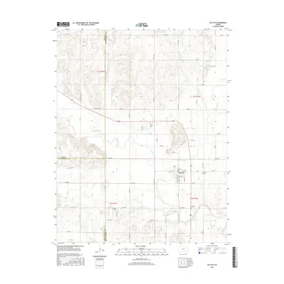
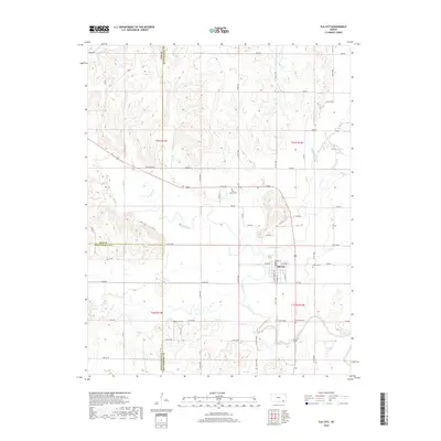
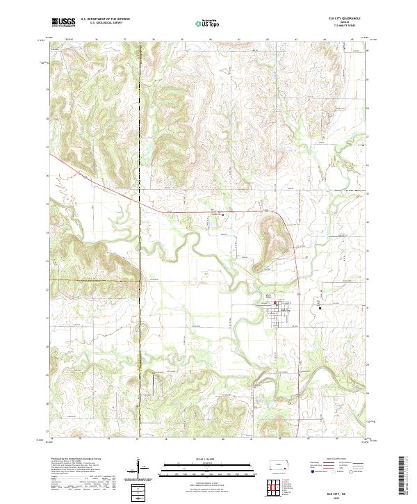
Elk City serves as the central hub of this Kansas landscape, where the meandering Elk River meets a network of vital tributaries like Duck Creek and Salt Creek. The town's infrastructure in the early 1960s is clearly defined, showing the grid of streets alongside the Atchison Topeka and Santa Fe railroad, which cuts a sharp diagonal line across the river's winding oxbows. The industrial character of the rural sections is visible through scattered Oil Well sites and a Quarry in Rutland. Local heritage is preserved in the placement of Oak Hill Cemetery and Woodring Cemetery, while the presence of a Gaging Station and Sewage Disposal facility points to the active water management and civic growth of the era. This study documents the area just before significant reservoir developments would forever alter the natural course of the local drainage systems.
Find a feature on this map
21 named features on this map. Tap any name to fly to it.
Don’t see what you’re looking for? This feature index may not catch every label — zoom into the map to look around manually.
Map Details
Editions of this 1962 Elk City Map
This is the sole edition of this map. No revisions or reprints were ever made.
Historical Maps of Elk City Through Time
6 maps found